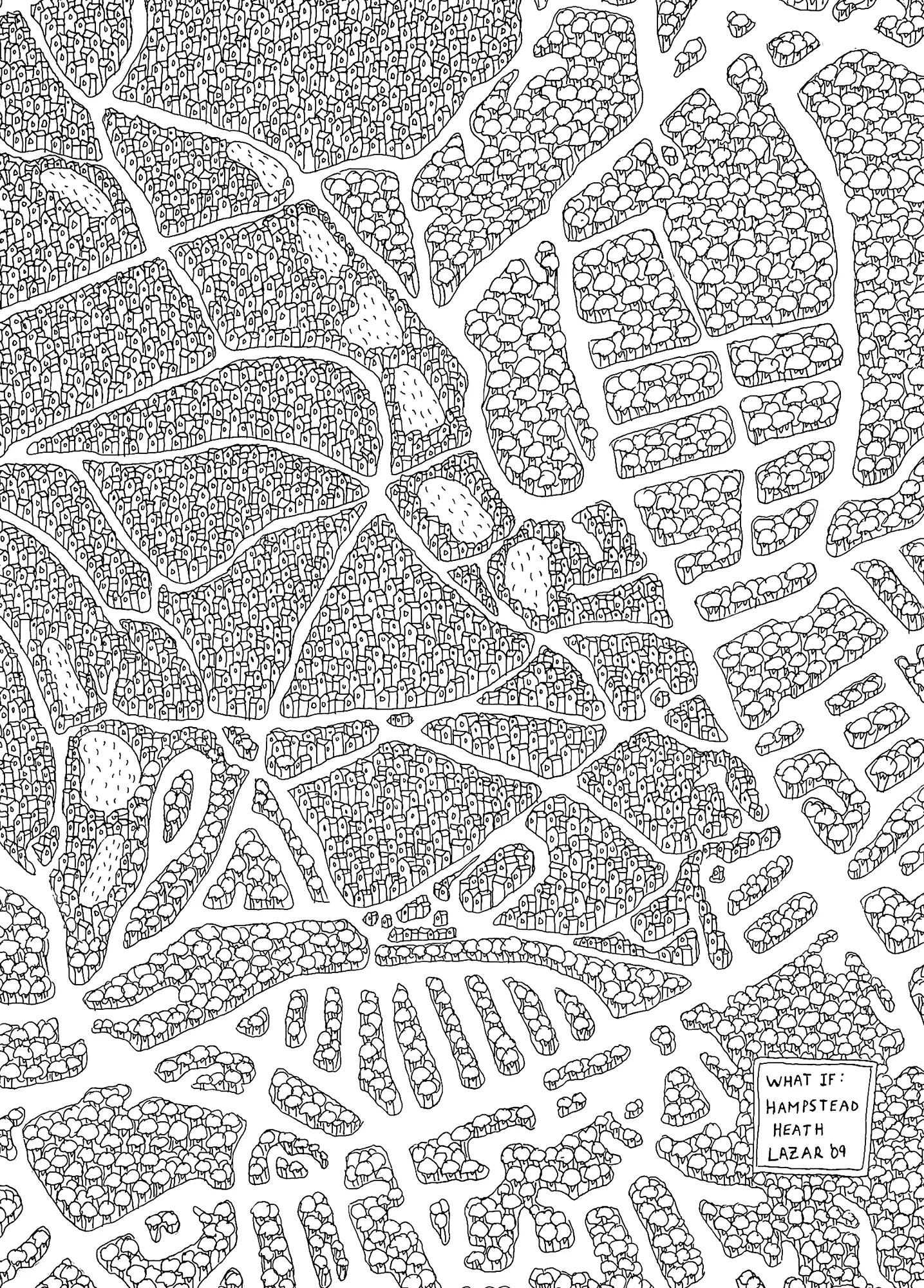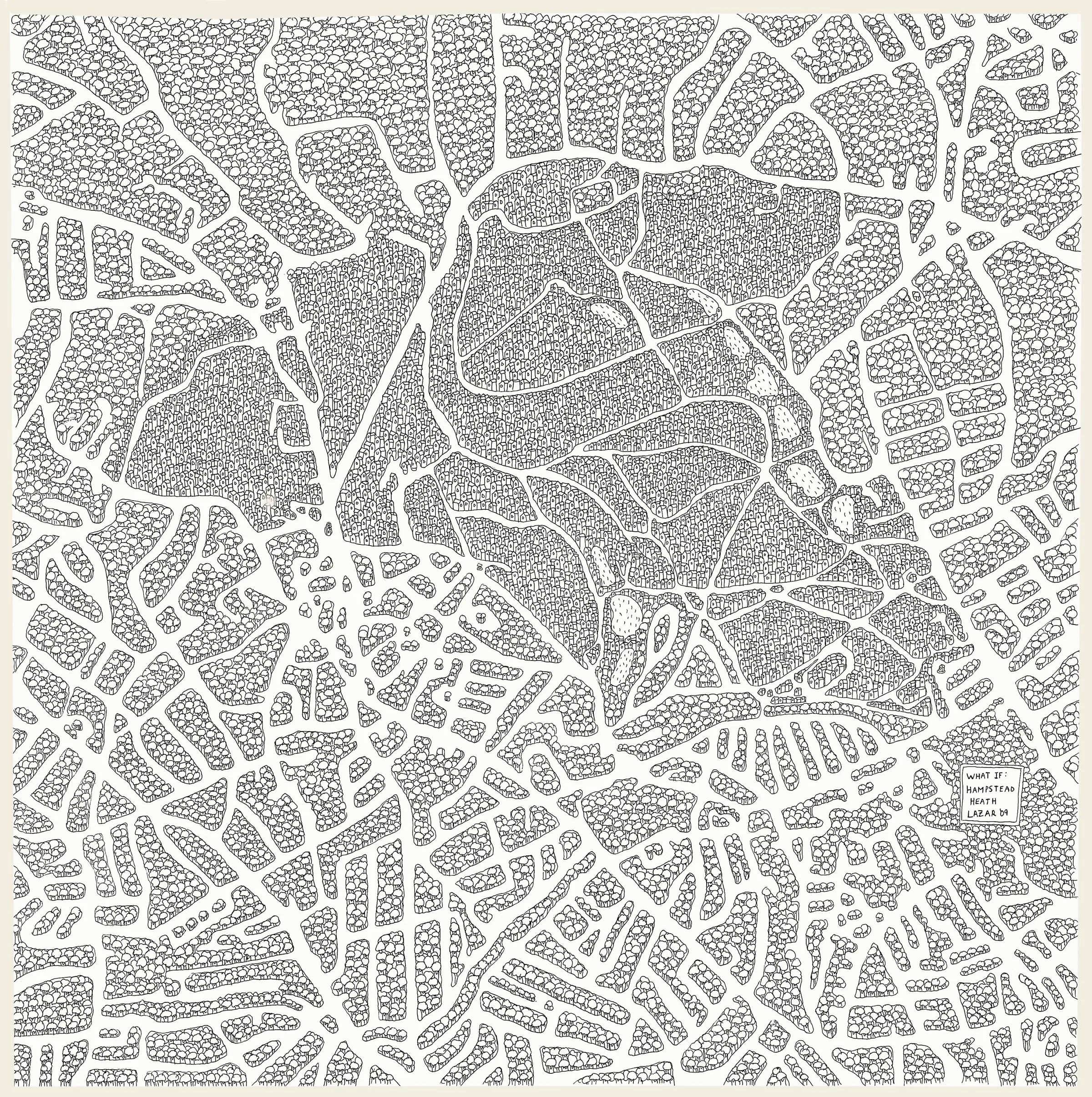
What if?
2009Ink on paper54 x 54cm
“One night, while running around the perimeter of the Heath, I was struck by the way it appeared as an island of darkness in a sea of light. That image sparked an idea: what if I reversed the trees and the buildings? What if Hampstead Heath wasn’t a park surrounded by a city, but a village hidden within a vast forest?
That simple question became the starting point for my ‘What If…’ maps.
Since then, I’ve created five series: London, Paris, New York, San Francisco, and Cape Town.”
Details